
Walk Caddo Parish Streets
A street directory search works best as a chain. Ownership comes from the assessment roll and deed index. A voter match or dated directory entry may support an address connection, but neither is a complete list of people at the property. Keep the date and source beside every name.
- Normalize the number, direction, suffix, unit, municipality, and ZIP. Check the postal last line when Shreveport and an older community name differ.
- Search the Caddo Parish Assessor by owner, subdivision, or Section-Township-Range. Save the parcel ID, situs address, mailing address, and legal description returned.
- Open the assessor mapping link or professional map layer. Record adjoining parcel numbers instead of assuming one street number marks one tract.
- Use the current owner and legal description in the Caddo Clerk conveyance index. A deed links the parcel to a grantor, grantee, instrument number, book, page, and recording date.
- Check a specific address in the state voter portal, then consult address-organized library directories for a dated household clue. Treat each result as evidence from its own date.
This sequence turns one address into several independent checks. For a whole named road, repeat it parcel by parcel. That is slower than accepting a loose name match, but it keeps owners, registered voters, subscribers, and past occupants from being merged into one false household.
Caddo Parish Street Address Keys
Caddo records use three address keys. The situs address is the physical site used on a parcel or permit record. The mailing address receives tax notices and may belong to a firm, relative, or place outside the parish. The legal description identifies land through a subdivision, lot and block, Section-Township-Range, or another surveyed description. The last key usually survives a changed street number.
- Parcel
- A mapped unit of land with its own assessment identifier.
- Situs address
- The physical location of the parcel, distinct from the tax mailing destination.
- Plat
- A recorded survey or subdivision map showing lots, streets, easements, and boundaries.
- Criss-cross directory
- A directory arranged by street or phone number so an address can lead to a listed name.
A missing address result does not prove the property is absent. Try the subdivision or owner, compare old maps, and carry the legal description into the deed index.
Caddo Parish Street Directory Fields
The Caddo Parish Assessor real-estate search advertises free public records, owner-name searching, Section-Township-Range searching, subdivision searching, and mapping. Its static page does not reveal a verified street-address or ZIP field, so the street directory should not promise a one-click street export.
| Search control | Input | Status | How to use it |
|---|---|---|---|
| Owner name | Text search | Public mode advertised | Try spelling variants and business names. |
| Section-Township-Range | Legal location | Mode advertised | Use for rural land when a road address is weak. |
| Subdivision | Text or selection | Mode advertised | Narrow lots that share a street name. |
| Street or situs | Not exposed | Unverified | Do not assume a street-wide field exists. |
| Parcel number | Not exposed | Unverified | Save it from a returned card or ask the assessor. |
| Map or history card | Result action | Advertised | Connect parcel boundaries with the record card. |
The official landing page is visible in the image below. It helps confirm the available public modes before a searcher pays for added mapping or history-card access.
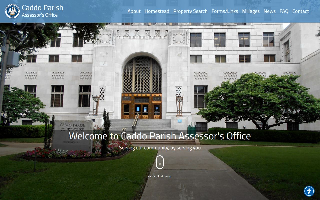
The screen is a starting point, not proof that every live control or returned field is available without entering the dynamic system.
Caddo Parish Records by Address
Each address-keyed source answers a different question. The assessor shows current assessment data. The clerk records legal instruments. Public Works maintains location layers, while city and parish permit routes document work tied to a site. Voter and directory results add dated person-to-address clues with privacy and coverage limits.
| Caddo source | Keeper | Street evidence | Access limit |
|---|---|---|---|
| Parcel assessment | Caddo Parish Assessor | Owner, situs, mailing address, legal description, value, exemption | Owner, S-T-R, and subdivision modes confirmed; exact address filter unverified |
| Parcel map | Assessor / Act DataScout | Boundaries, dimensions, layers, record-card link | Some professional mapping and history tools are paid |
| Conveyance record | Caddo Parish Clerk of Court | Grantor, grantee, instrument, book/page, recording time, legal description | Index account, paid images, clerk copy request, or record room |
| Voter address check | Louisiana SOS / Caddo Registrar | Public registration match at a specified address | Protected and private fields are withheld |
| Permit or inspection | Shreveport / Caddo Public Works | Address, work type, status, parties when released | No verified open historical street search |
| Printed directory | Shreve Memorial Library | Dated name, address, phone, or business listing | Print run confirmed from 1924; not every resident is listed |
The parcel ID and legal description are the best bridge between systems. A street name may vary, but a recorded lot or tract can connect the assessment card, deed, plat, and requested map.
Caddo Parish Street Map Access
The assessor links mapping and a paid professional property service. Act DataScout’s Caddo property page is the separate professional layer advertised by the assessor, with parcel mapping and history-card options. The captured page below shows that this is not the same access level as the free assessor owner search.
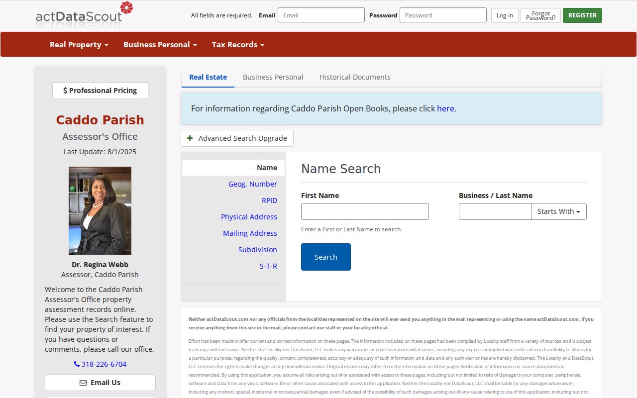
Caddo Public Works follows a different path. It maintains parcels, street centerlines, water, elevations, and aerials, yet says it does not provide raw GIS data to the public. Searchers can request a produced map or use downloadable maps, and should specify the target street, boundaries, layers, size, and number of copies.
The Caddo GIS map-request form asks for requester contact details and a precise map description. It allows 24 hours for production and requires prepayment, with prices that vary by paper size and a separate PDF township-range-section option.
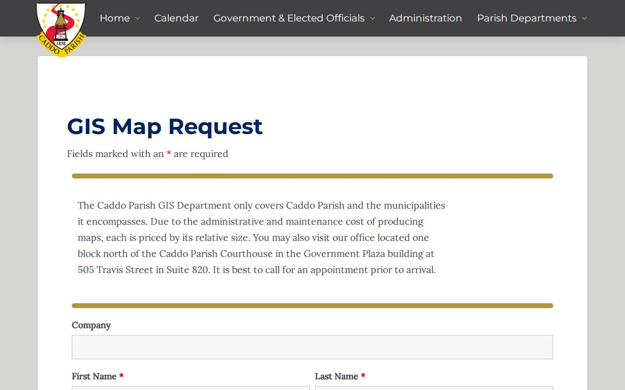
The request route is useful when the desired view cannot be produced from the assessor map. It is a custom map service, not a public radius or neighbor-search button.
Current posted map prices also show the difference between a record lookup and a made-to-order map. Letter size is $2, 11 by 17 inches is $8, 17 by 22 is $16, 22 by 34 is $24, 28 by 40 is $55, and 34 by 44 is $65. A PDF showing township, range, and section is $10. State the parcel boundary and needed layers before paying, since the form carries no-liability and no-reproduction terms.
Link Caddo Parish Streets to Deeds
A parcel owner becomes a deed-index key. Search the current owner as grantee, which means buyer, and record the purchase instrument. The deed should identify the grantor, or seller, plus book and page, recording time, and a legal description. Search that seller as an earlier grantee to move back one transfer.
Caddo property records begin in 1839. The clerk describes computerized property indexing from the early 1980s, conveyance indexing back to 1914, and back-scanned conveyances reaching 1838. Those dates mark different parts of the system. They do not guarantee that every old image is indexed online. LCRAA offers a free public index account, while Clerk Connect images, subscriptions, record-room work, and copy requests cover other access needs.
For the full backward method, use the Caddo Parish previous residents trail. A current street search only needs enough deed detail to establish ownership and avoid confusing a mailing destination with the physical parcel.
Caddo Parish Street Permits
Permits can confirm work at a physical site even when the tax mailing address differs. Shreveport uses My Government Online for permit, status, and inspection functions. The official material does not expose a verified open historical address search, so older or unreturned records may require a focused custodian request.
The permit and inspection portal shows the service used for city permit work.

Caddo Public Works also assigns 9-1-1 addresses and handles subdivision, road-crossing, culvert, and oil-and-gas permit matters. Its Public Works overview helps route rural and unincorporated address questions.
That split matters across the parish. A Shreveport postal last line does not by itself decide whether the city or parish keeps the requested permit record.
Caddo Parish Voters by Address
The Louisiana Voter Portal can confirm public registration information for a specified address. It does not expose Social Security numbers, email addresses, full birth dates, mothers’ maiden names, or protected records. The public design also keeps voter and address records separate rather than publishing a joined resident list.
A match is useful, but narrow. Registration may lag a move, and a missing result can reflect eligibility, registration status, or confidentiality. The Caddo Registrar of Voters provides the local office route when the online result needs clarification. Use voter evidence beside the parcel and deed records, never as proof of every person living at the address.
Caddo Parish Streets Across Time
Shreve Memorial Library holds city directories organized by name, address, and phone from 1924 to the present. For an earlier street directory view, Sanborn fire-insurance maps document Shreveport in editions from 1885 through 1935, with later revisions. LSUS tax assessment books add names, addresses, acreage, property descriptions, and values for 1880 through 1920 and 1954.
No official dated Caddo street-renaming or renumbering list was located. When a number disappears, compare the directory street index, Sanborn sheet, city archive, and old map, then return to the clerk’s legal description. The historical community list also places Cecile, Flournoy, Gayles, Lachute, Lucas, and Robson under Shreveport 71102. Search both the community name and current postal last line.
The historical collections themselves are detailed on the Caddo Parish city directory page. Here they serve one job: linking an old street label to a dated occupant or subscriber.
Caddo Parish Street Directory Limits
No Caddo Parish street directory can show every person who currently occupies a property. A deed lists legal parties. An assessment record names an owner and tax mailing destination. A directory captures listed people at publication time. Voter records omit protected information and do not form a public block-wide household file.
Utility customers, unlisted household members, and people absent from public owner, voter, permit, business, or historical sources may not appear. Commercial compilation tools can also merge old addresses or unrelated names. Confirm the record date, match the legal parcel, and seek a second official or archival source before drawing a conclusion.
Lawful use. Use Caddo Parish address records for family history, property research, civic questions, and other lawful personal purposes. Never use them to stalk, harass, threaten, or harm anyone.